Scenic views of Jezersko
Church of St. Andrew
Near the Church at St. Andrew, a small parking lot offers a unique view of the mountains above Jezersko. The view extends from Goli vrh, Grintovec, Kočna to Storžič.
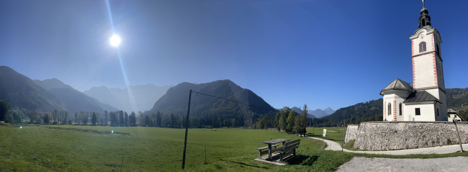
About the Church of St. Andrew: On a hill once surrounded by a large lake stood an apple tree whose branches formed the shape of St. Andrew's cross. Where the Church now stands, there was once a wooden chapel, and after the lake drained, the foundations were laid for a stone church.
The Old Church of St. Oswald
The old Church of St. Oswald stands just a little bit away from the village centre, on a hill by the Karničar farm. In front of the Church is a wooden bench where you can admire the beauties of the Kamnik-Savinja Alps, while below you, the view opens up to Zgornje Jezersko.
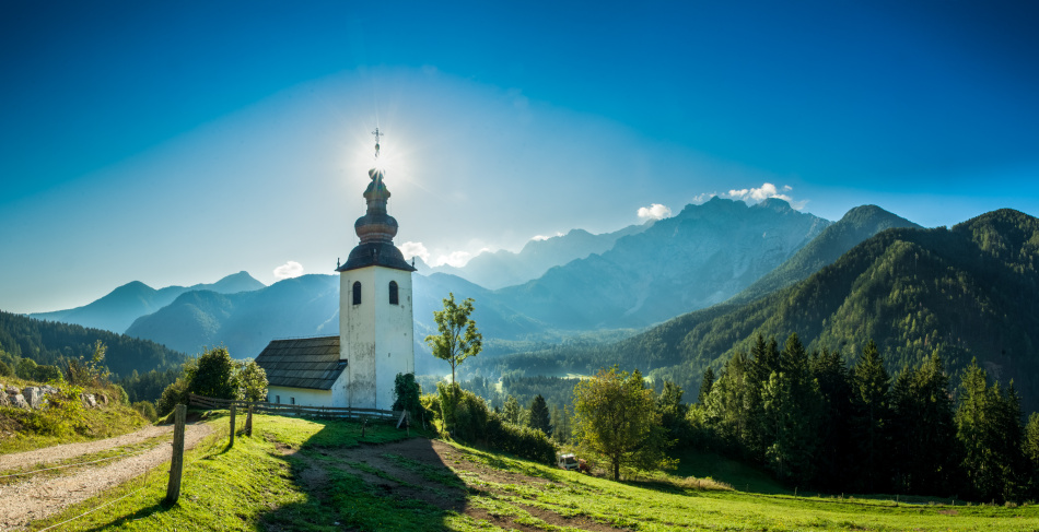
About the old Church of St. Oswald: A wooden chapel was erected at this site in 811 as a refuge for travellers and monks between Carantania and Carniola and Friuli and Pannonia. It was built at the turn of the 12th to the 13th century. It is known for the statue of Mary, donated by Patriarch Francis of Aquileia in 1386, and for frescoes from the 14th century, considered the oldest in Slovenia.
Viewpoint at Prodi
Jezersko je obdano, kar z dvema gorskima dolinama Ravensko in Makekovo Kočno. Razgledna točka v dolini Ravenske Kočne nam pričara, osupljiv pogled na veličastne dvatisočake, in dolino pod nami.
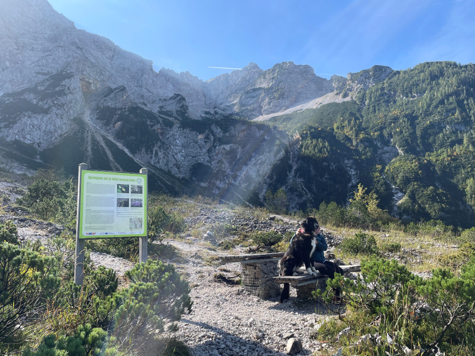
O dolini:Jezersko is surrounded by two mountain valleys, Ravenska and Makekova Kočna. The viewpoint in the Ravenska Kočna Valley offers stunning views of the majestic two-thousanders and the valley below.
About the Valley: While walking through the Ravenska Kočna Valley, you can peek into the past of this beautiful mountain landscape and observe how the former glacier transformed the surface and how natural forces constantly change the landscape.
Lake Planšar
Lake Planšar is about 2 km from Zgornje Jezersko, next to the restaurant.
About the Lake: The lake is heart-shaped. It was dammed in memory of the large glacial lake that filled the valley until the earthquake of 1348.
Rakeževo
The Rakeževo viewpoint is located not far from the Jezerski Vrh border crossing. From here, you can enjoy breathtaking views of the Jezersko Valley and the mighty peaks of the Kamnik-Savinja Alps.
About Rakeževo: A small farm, the last one on the ridge from Jezerski Vrh to the west. In 1943, the last residents lived on the farm. After World War II, due to strict border security, it was no longer possible to live here. In 1943, the last wheat harvest was harvested on the sunny and fertile Rakeževo fields. Rakeževo is also the location of a panoramic camera above Jezersko.
Viewpoint below Mali vrh
The viewpoint below Mali Vrh is about an hour's walk from Zgornje Jezersko. The view from the observation platform stretches from the Karawanks to the Obir.
View of the Farms: a beautiful view of the old Church of St. Oswald; next to it stands the Karničar farm. At the same time, you can also observe the farms that are part of the settlement of Spodnje Jezersko: Spodnji Virnik, Rezman, Kovk, and Mošnik farms.